利用DInSAR觀察嘉義市附近地表變形(文章發表於Remote Sensing of Environment <doi:10.1016/j.rse.2007.06.012>)
Deformation around Chiay City (Article published in Remote Sensing of Environment <doi:10.1016/j.rse.2007.06.012>)
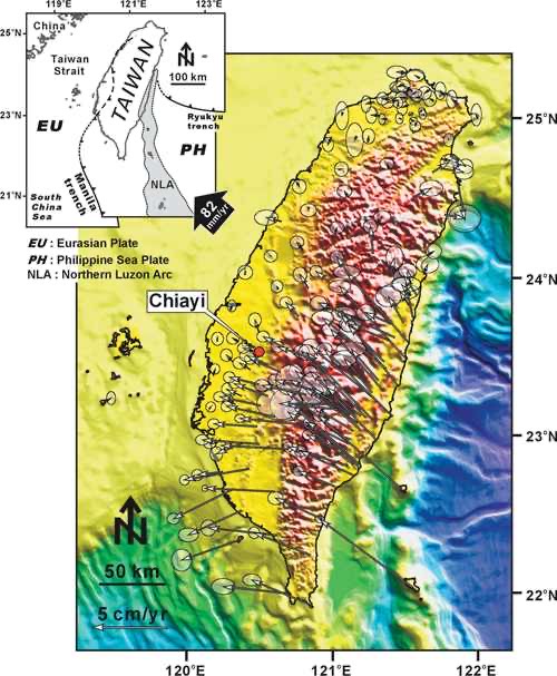
Figure 1. Tectonicsetting and velocity field of Taiwan. Philippine Sea plate is moving toward the Eurasian plate at about 82 mm/yr, creating a large compressive stress regime in the island of Taiwan. The stress is partitioned throughout the entire island as can be seen from the GPS velocity field. (GPS data after Yu et al., 1997)
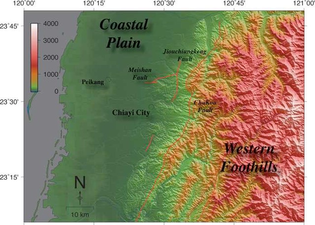
Figure 2. Chiayi city is located in the southwestern Taiwan, and bordered by several active faults to its north and its east.
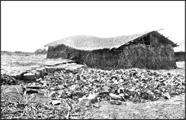
Figure 3. Chiayi city is, historically, prone to strong earthquakes. Aftermath of 1906 Meishan earthquake near Chiayi city (Omori, 1907).
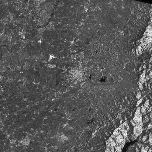
Figure 4. ERS-2 radar image of Chiayi city.
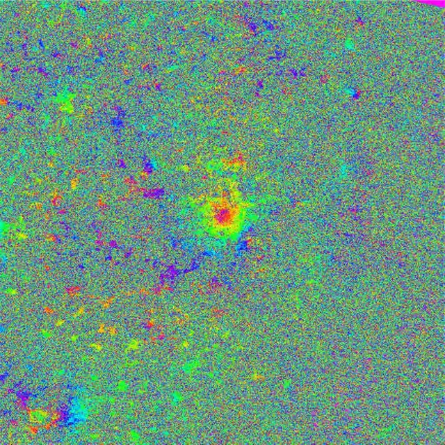
Figure 5. Interferogram formed from image pair 2000/01/06 and 1999/01/21. Rainbow color represents phase signal from 0 ~ 2π. Each color cycle represents deformation of 2.8 cm in the radar line-of-sight direction. In Chiayi city, there was roughly 2 cm of deformation during the acquisition of the two radar images used.
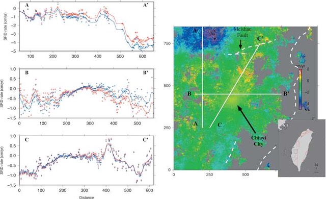
Figure 6. Stacked deformation rates near Chiayi city.